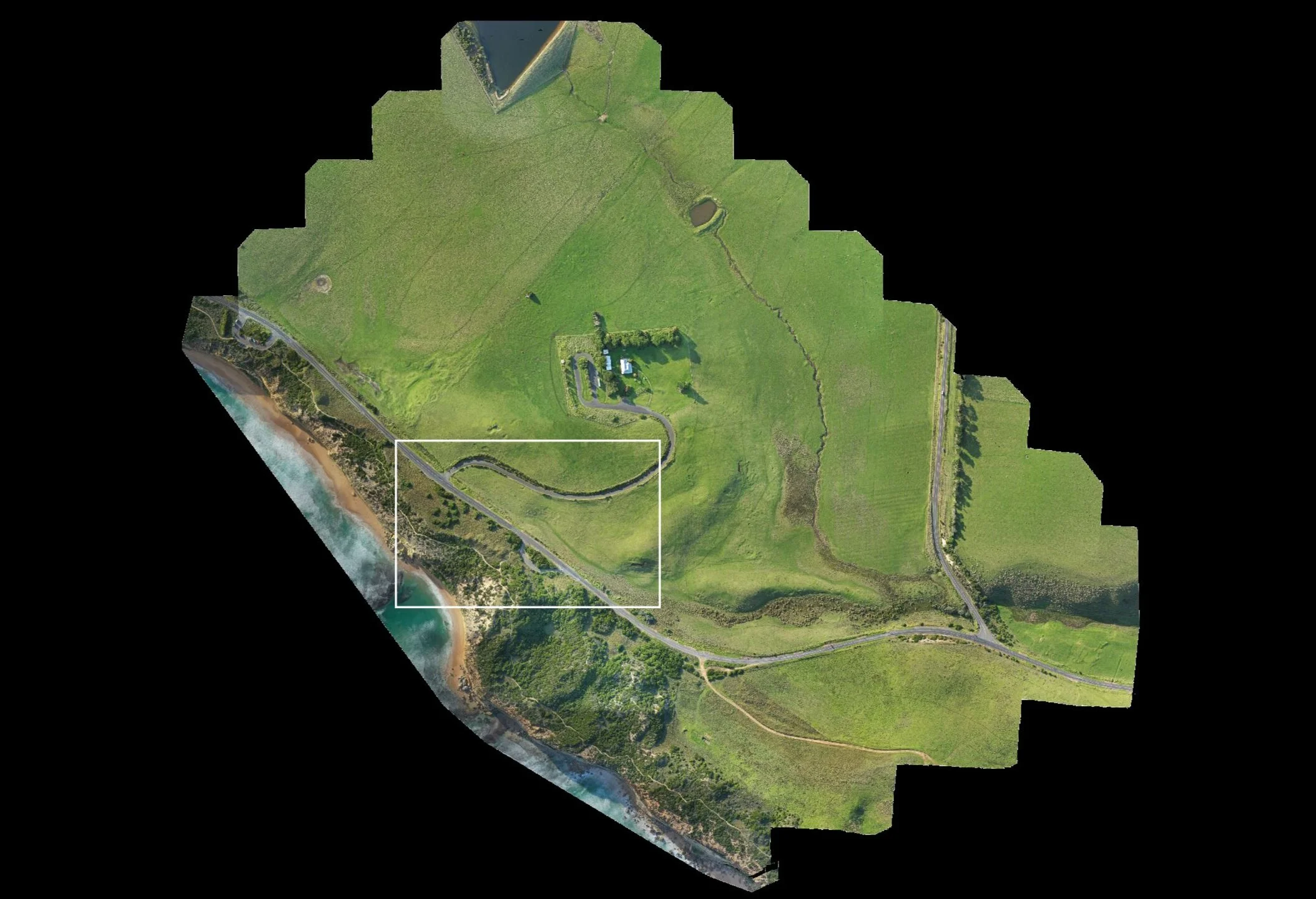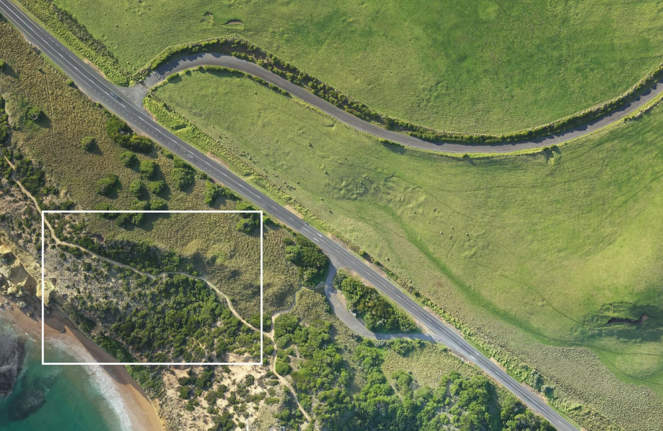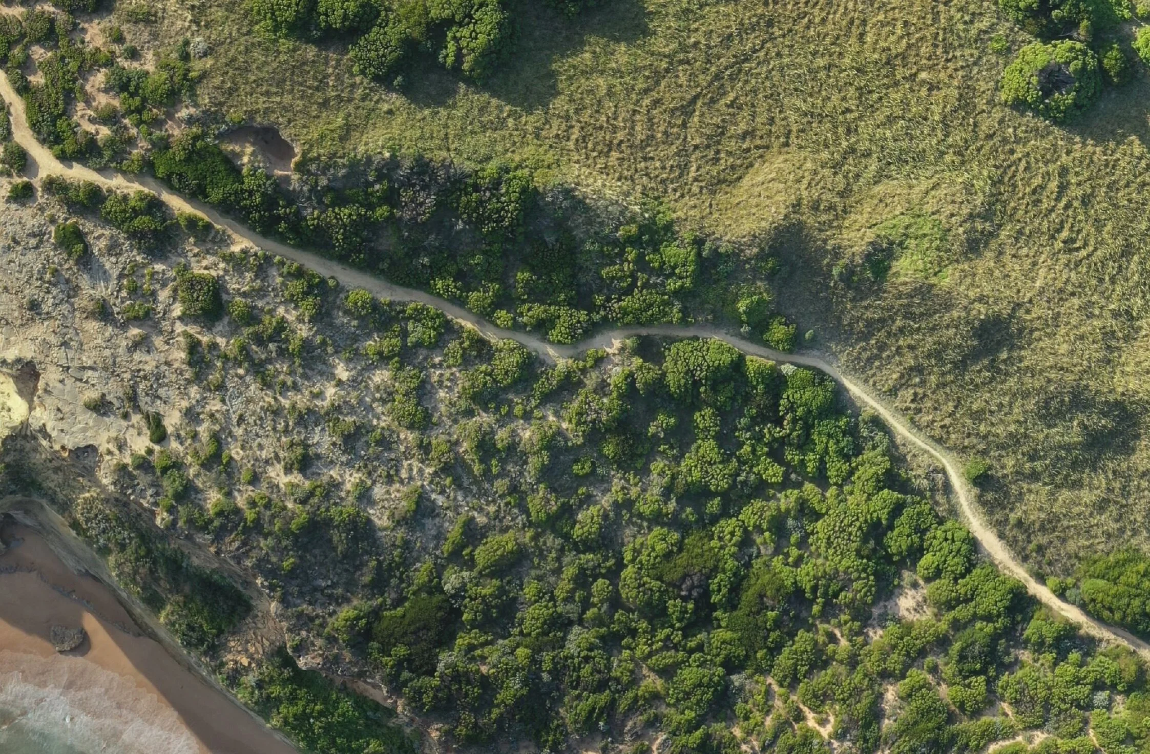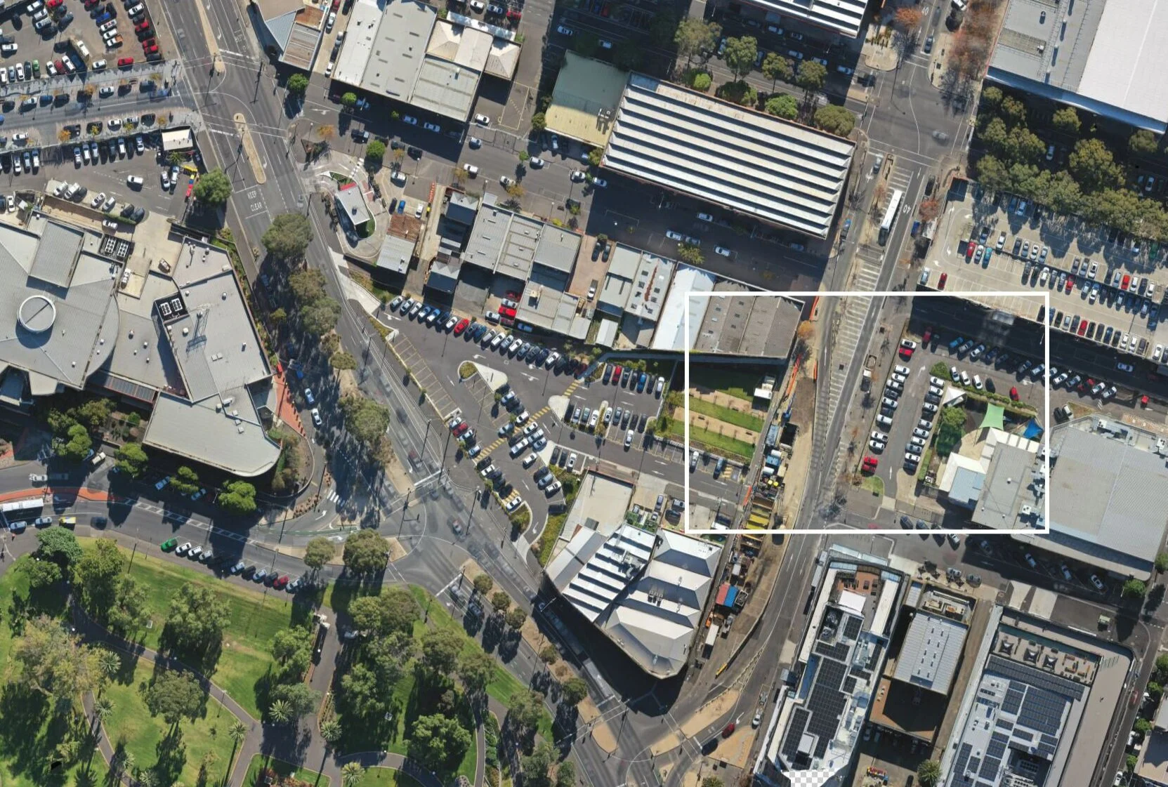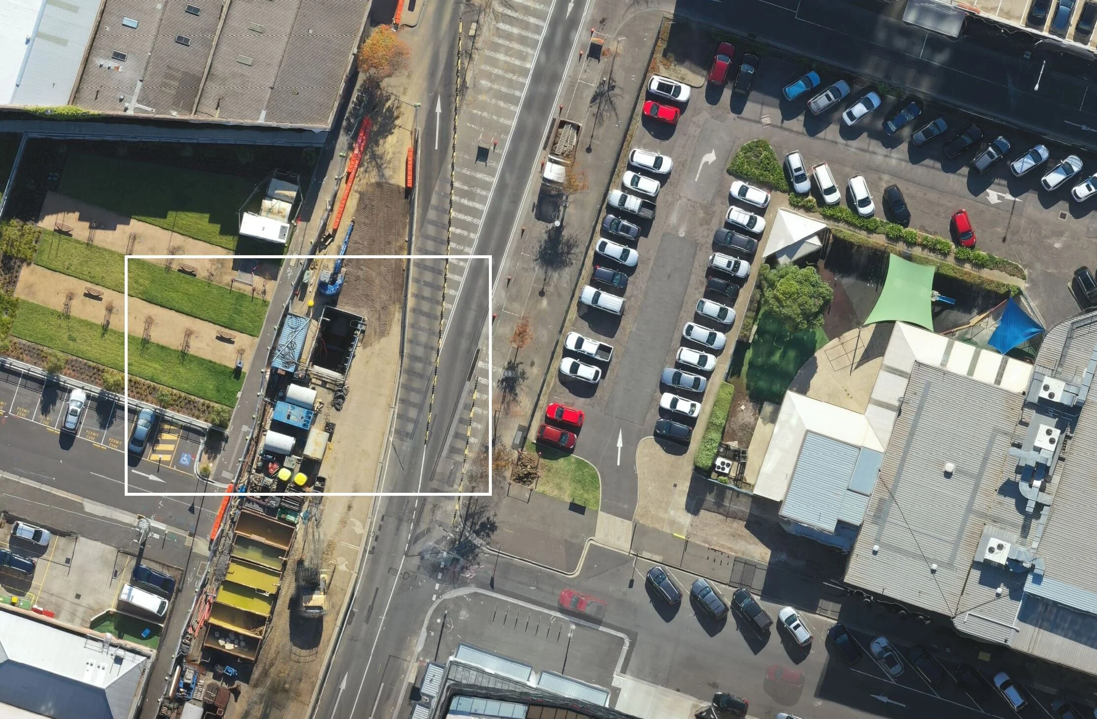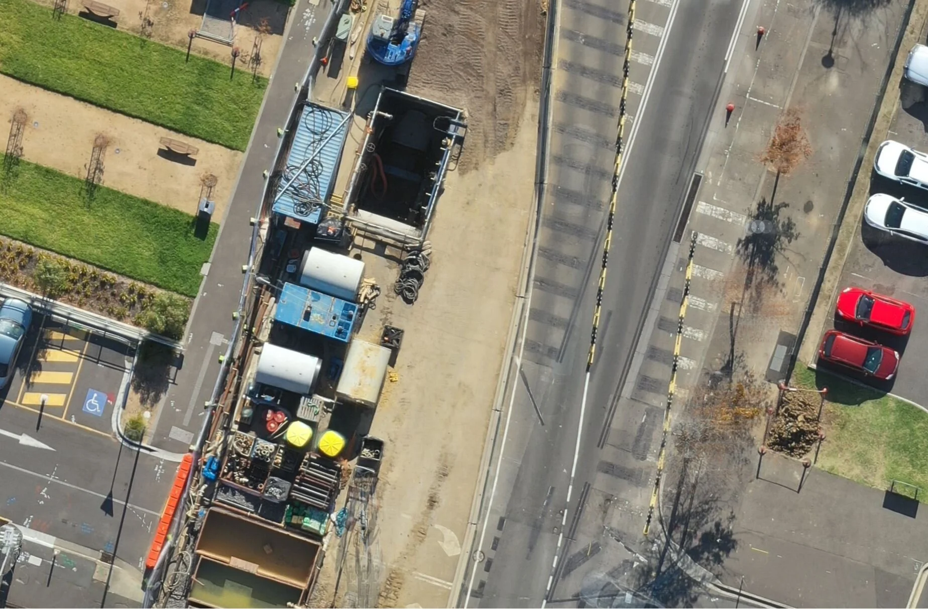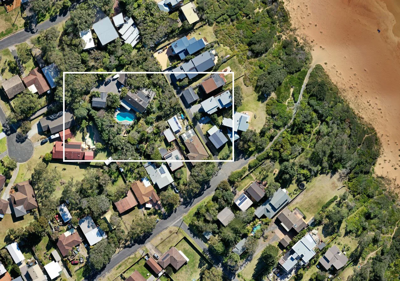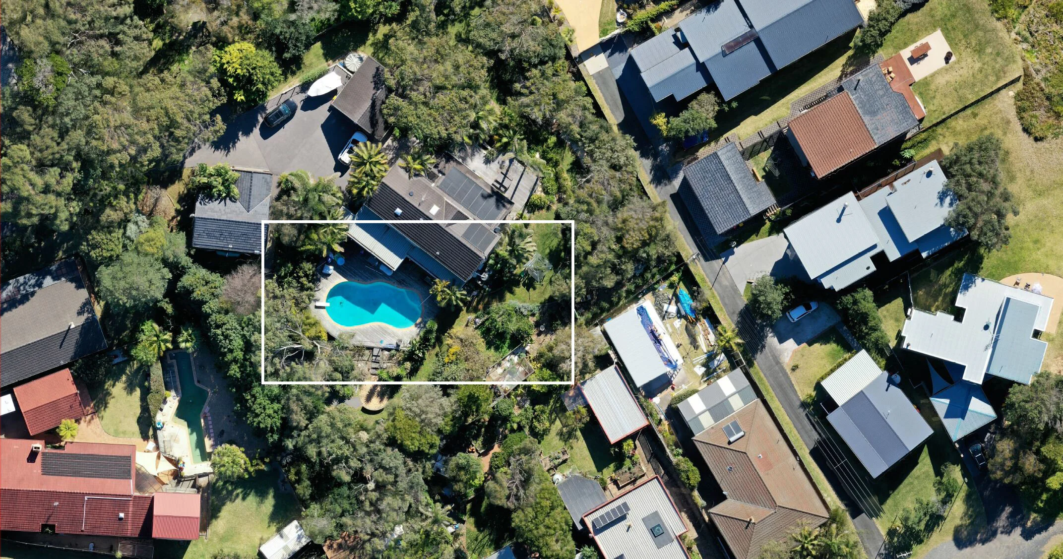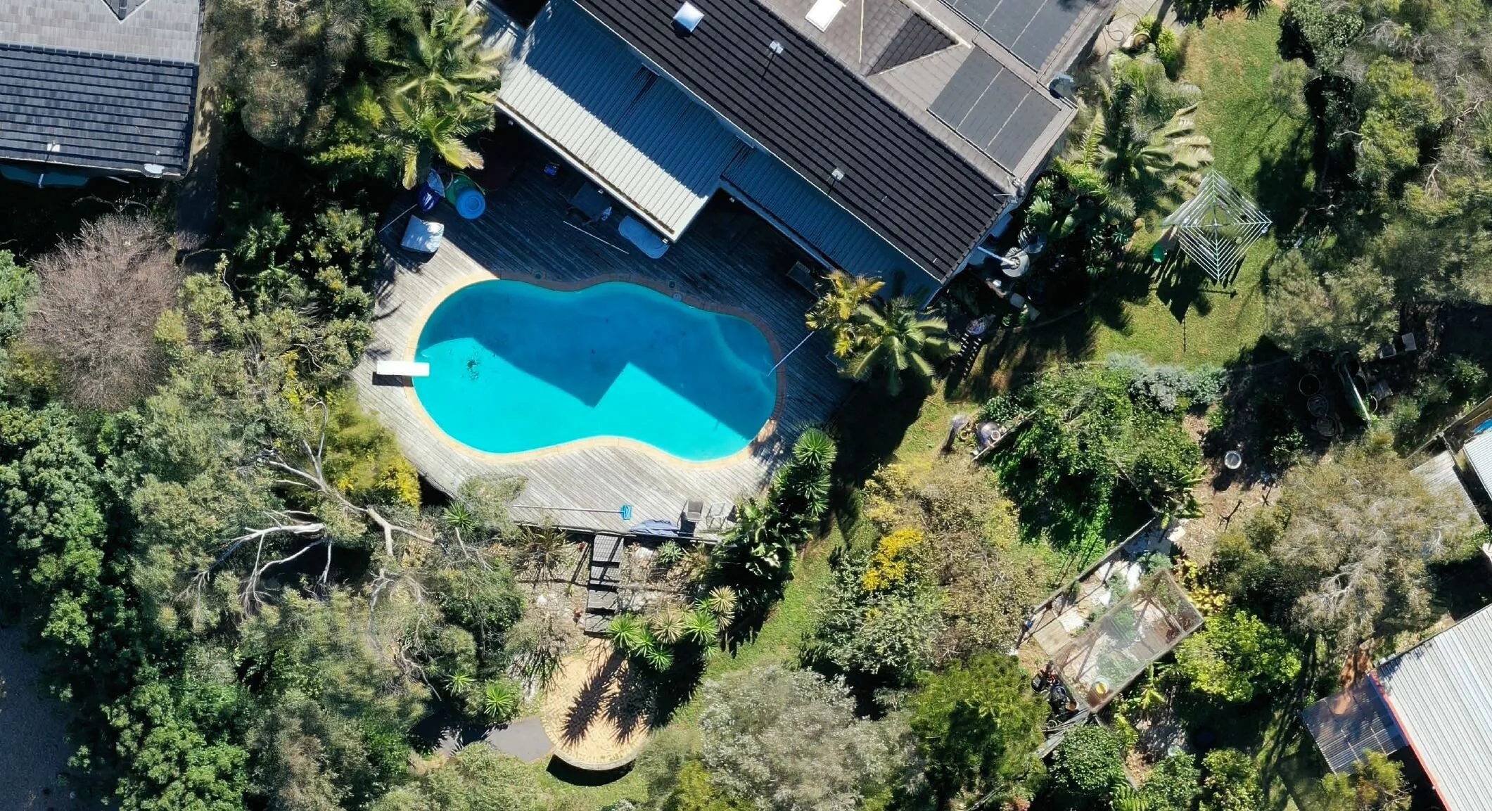
Hi-res photo maps are complied from hundreds of top-down 20 megapixel photos automatically stitched together to create an incredibly sharp, detailed representation of the architecture and terrain. This technique can be adopted on varying scales and altitudes and can be tailored depending on what level of detail is required. The first image shows a comparison between Google Maps, Nearmap and finally the drone imagery possible through Osprey.