
PHOTOGRAMMETRY
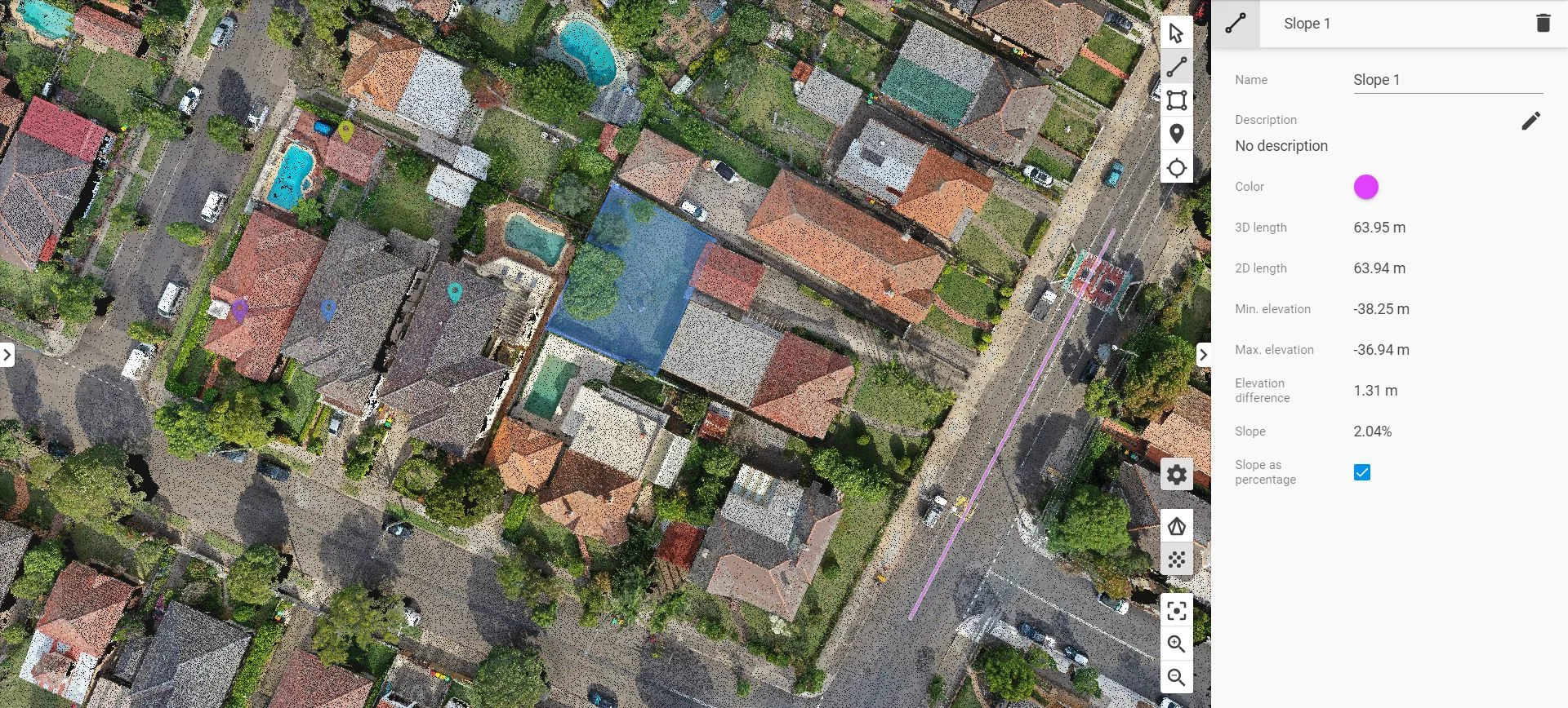
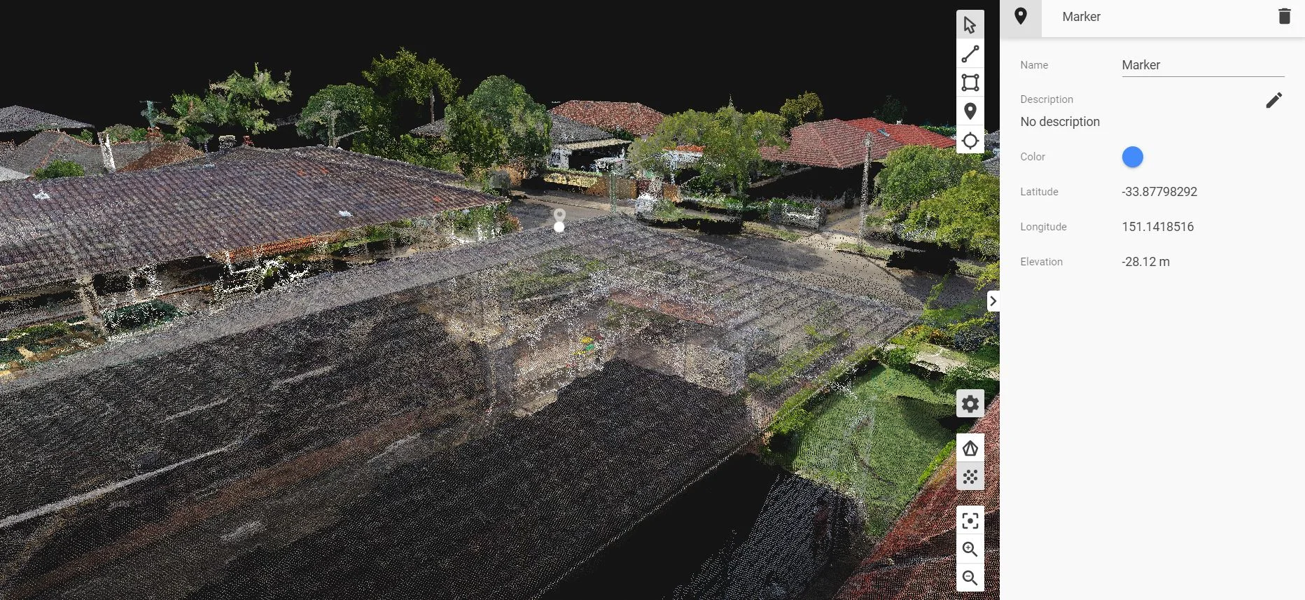
Photogrammetry is achieved through a combination of drone photography and GPS data to produce a point cloud data. The point cloud contains tens of millions of individual points each with their own data set meaning measurements such as global coordinates, elevation, gradients and areas can be easily ascertained in web browser. Mobile device usage is supported which is useful for on-site analysis.
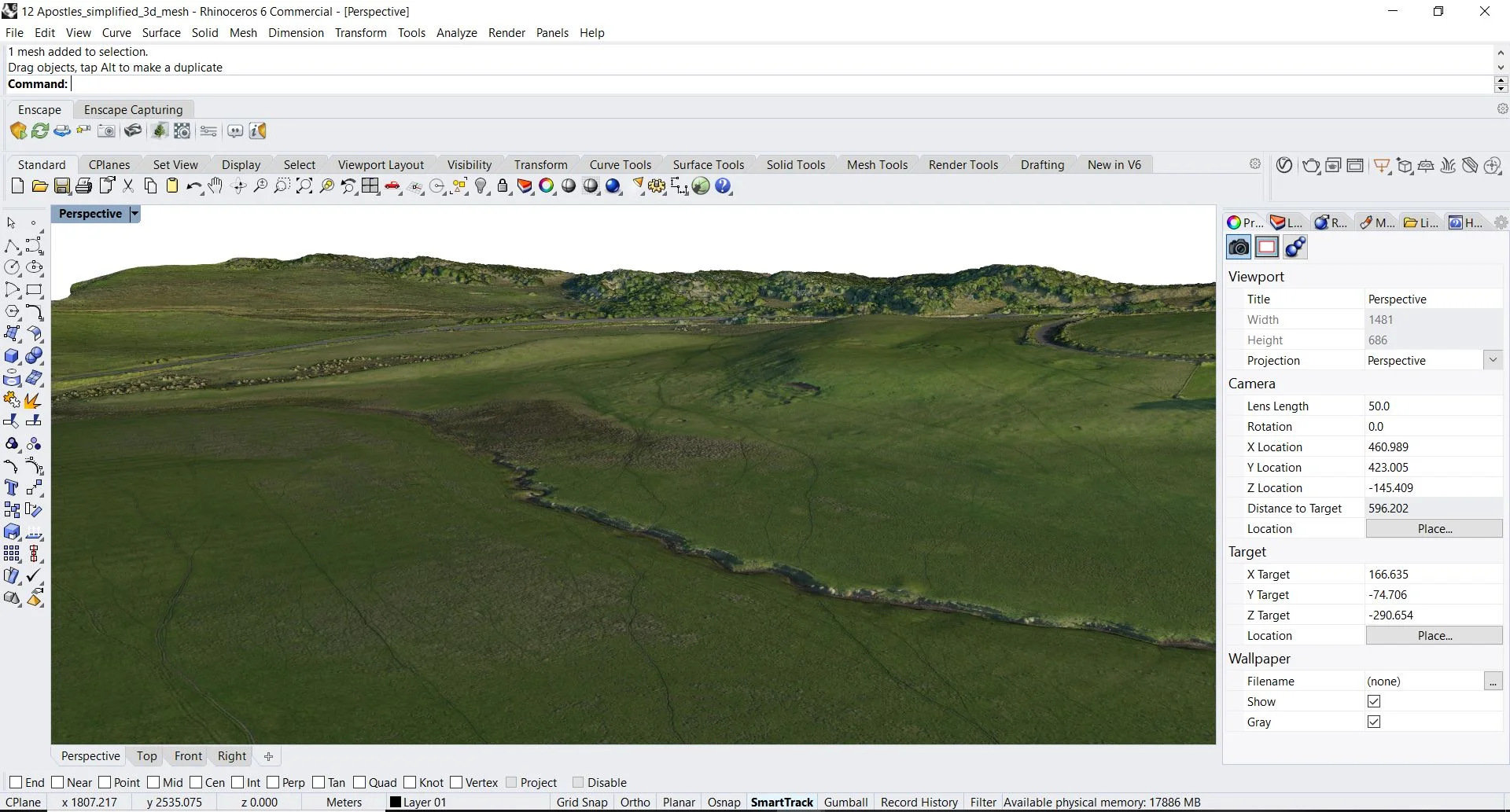
A textured 3D mesh can also be produced which is fully compatible with most 3D design software as Revit, Rhino and 3D Max.
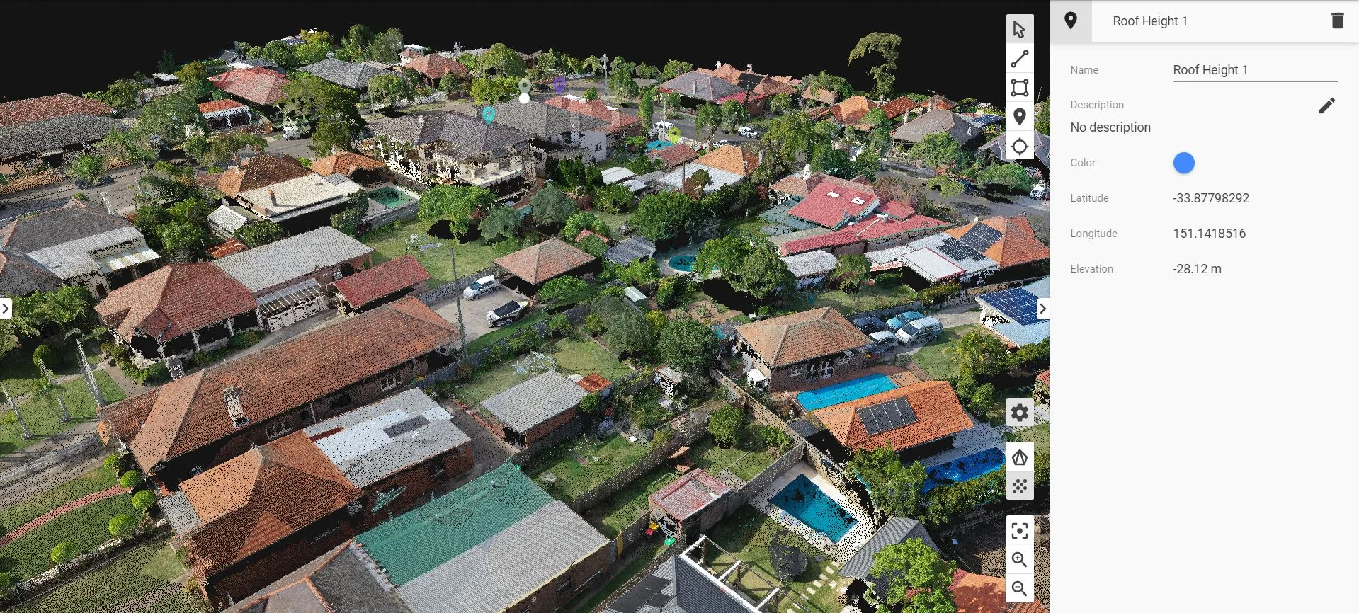
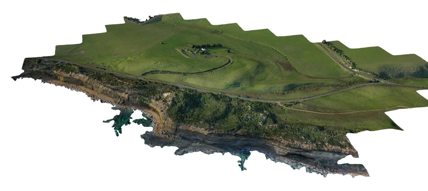
Large scale site scans as a 3D textured mesh.
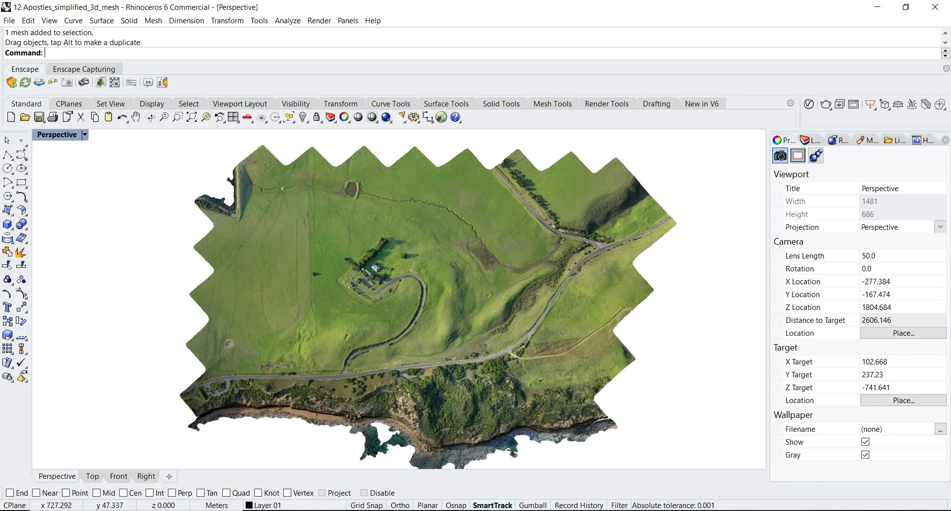
Full Revit/Rhino/3D Max compatibility
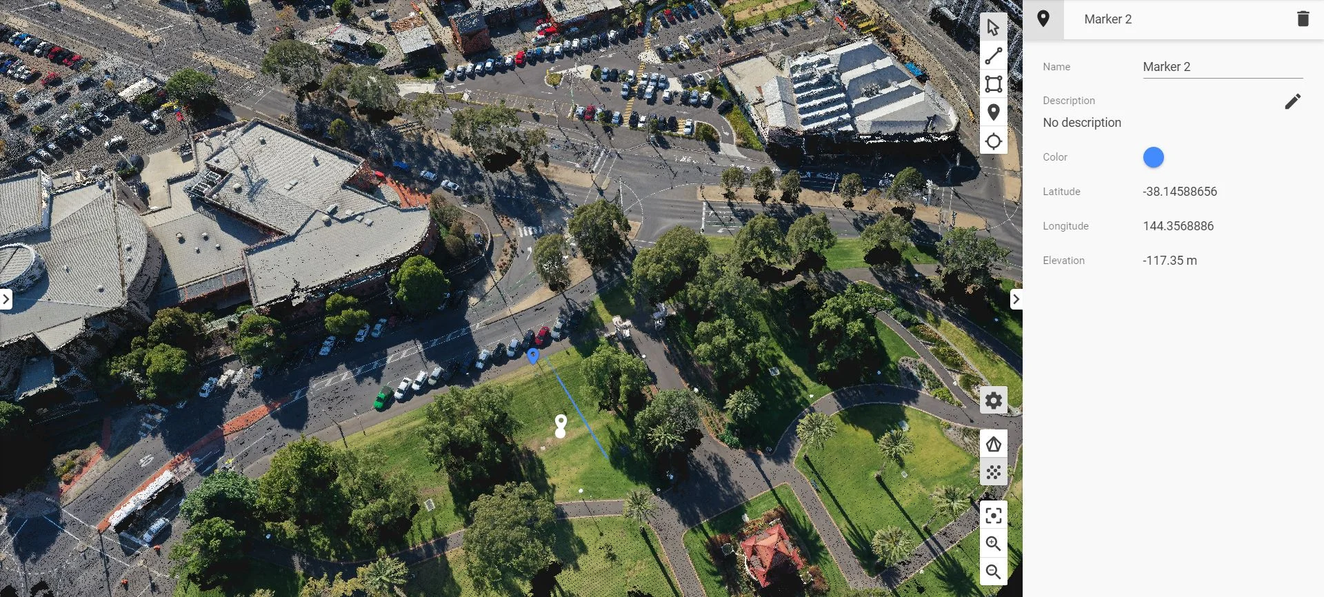
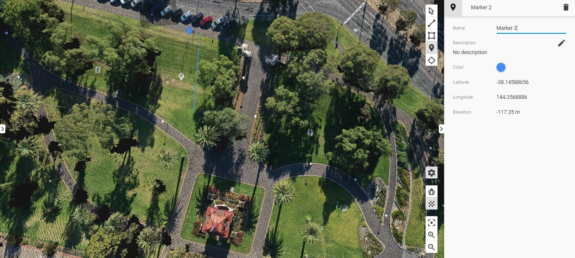
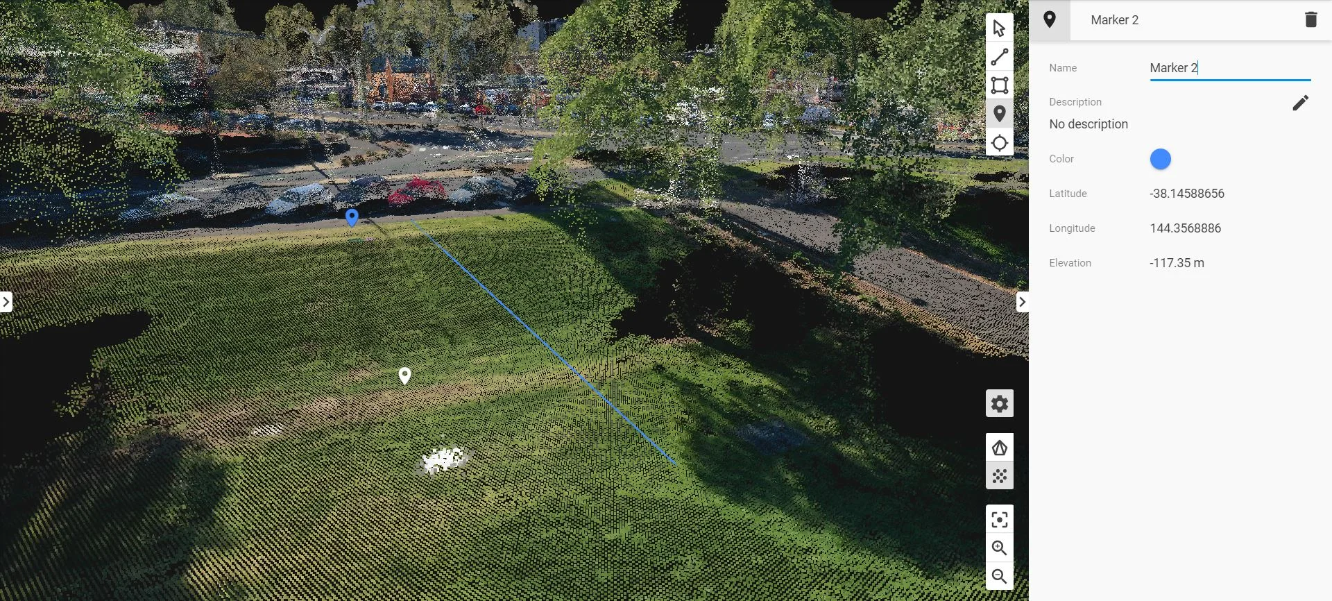
Detailed site analysis.